History of the SFTR Community Wildfire Protection Plan
Over the past 20-some years there have been many potentially catastrophic events on the SFTR, most of them similar to the event of June 7, 2018. Way back in 2001, the ranch experienced it’s first Evacuation Alert and Carolynn Johnson wrote a first hand account in her Evacuation Report. The Friday Night Fire happened in April of 2002 and Carolynn Johnson again wrote an account of that fire caused by lightning. Then in May 2002 there was a Fire on the Crazy French Ranch that is now the Fishers Peak State Park described by Walt Wolff. Mary Jo Shelton also wrote a Fire on the Crazy French Ranch Update telling us about that fire right across the highway.
In May of 2005, our Forester at the time, CK Morley, wrote an Open Letter to the SFTR Landowners telling us about our need for shaded fuel breaks.
Ed Hockett, a SFTR Board member and Fisher Peak Fire Protection District volunteer, wrote about his Rude Awakening to a fire on the ranch in July of 2005. That same year, the Forest Health and Wildfire Protection committee was organized, the first Community Wildfire Protection Plan - 2006 was written and the SFTR became a FireWise community.
By 2007, the SFTR was beginning to awaken to the wildfire hazard that exists on the Santa Fe Trail Ranch and Joyce Wolff wrote an article about How We Got Firewise. Ed Hockett provided his 2008 New Year’s reflections in an article titled Burning Memories.
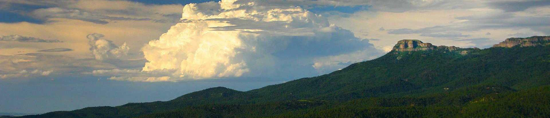
Then in June of 2011 a wildfire very nearly threatened the SFTR, prevented only by a fortunate change of wind direction. The Track Fire burned over 27,000 acres just to the southeast of the SFTR.
In 2016, the Forest Health and Wildfire Protection committee revised the Community Wildfire Protection Plan - 2016. Because this plan is required to be up-to-date for both FireWise certification and CSFS grant program participation, the Forest Health and Wildfire Protection committee is now in the process of writing the updated Community Wildfire Protection Plan -2023. Property owners are encouraged to verify that the location of their primary structure and the extent of mitigation on their lot is accuratedly depicted on the Updated Mitigation Map. Any needed revisions may be made by contacting the Forest Health and Wildfire Mitigation committee at @email